


Spatial and Temporal Patterns of Sand Dunes in Zoige Basin in Last 40 Years
Updatetime:2010-08-11From:
【Enlarge】【Reduce】
Based on combination of remote sensing data during 1966 2006 and field survey. researchers from Key Laboratory of Desert and Desertification, Cold and Arid Regions Environmental and Engineering Research Institute(CAEERI),, Chinese Academy of Sciences(CAS)analyzed Spatial and temporal patterns of sand dunes in Zoige Basin 。
The area of sand dunes expanded and spatial distribution center shifted to the southeast from 1996 to 2006. The expansion of the area of sand dunes related to expansion of sand sources, comprising newly exposed part of flood plain and river central island, degraded rangeland, dry lakes and dry marshes. The expansion of the sand sources related to air temperature rising, precipitation reducing, population increasing and livestock multiplying. The moving southeastward of the spatial distribution center of sand dunes is resulted from the predominant wind directions of west, north and northwest.
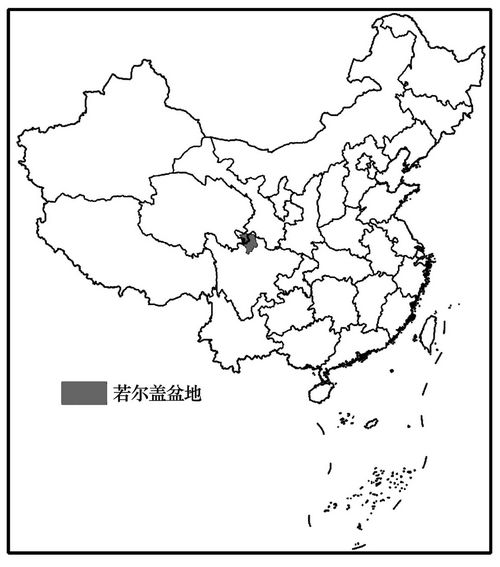
Fig.1 Location of the Zoige Basin
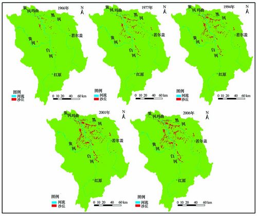
Fig.2 Patterns showing spatial expansion of sand dunes in Zoige Basin
Appendix
